Municipality of Minitonas-Bowsman declares state of emergency due to flooding

Posted June 8, 2026 4:18 pm.
Last Updated June 8, 2026 5:11 pm.
The Municipality of Minitonas-Bowsman — around 480 km northwest of Winnipeg — has declared a state of local emergency due to overnight flooding.
On Sunday, the municipality issued a warning regarding a severe storm that was moving into the area, which had the ability to cause overland flooding, as some areas were expected to get around 120 mm of rainfall during a short time period.
Around 2 a.m., the municipality issued another advisory, as the bridge on the west side of the town over the East Favel River was closed due to high water levels.
About two hours later, residents were asked to shelter in place due to flooding, noting that hydro crews were hoping to return to service around 5:30 a.m.
By 6 a.m., all Minitonas residents were placed under a boil water advisory. However, around 3:30 p.m., the municipality said those residents would be without water altogether between 7 p.m. on June 8 until 7 a.m. on June 9.
Around 9 a.m., a local state of emergency was declared. In a post on social media, the municipality said it would be working with the province to assist home and property owners with the clean-up caused by the flood.
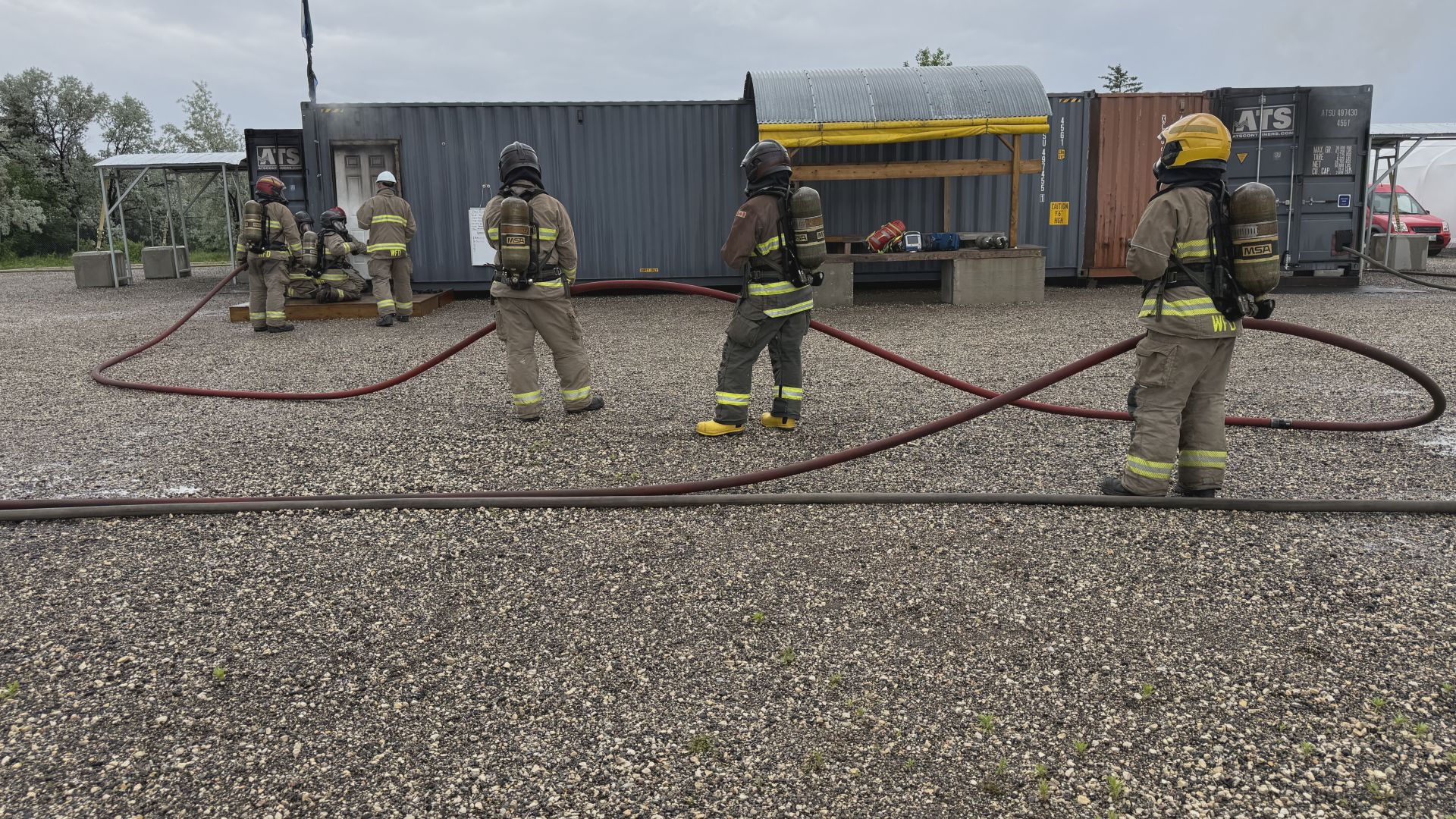
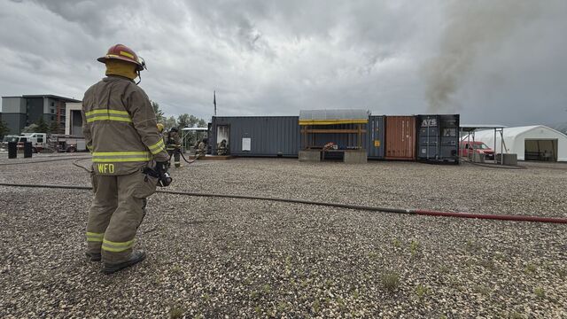
Hydro crews were working to restore power, while the local fire department was going door to door to share best practices on submerged outlets, panels, electronics, or appliances.
On top of the flooding, a gas line also ruptured, which meant that an evacuation notice was issued around 10 a.m. for all residents along 1st Street West, Bud Road & 5th Street, west of the skating rink.
Highway closures
Several highways in the area have also been closed by the province. As of 3:19 p.m. on June 8, the following closures were in place due to flooding:
- Highway 10, 10 kms east of Swan River, road is washed out.
- Highway 10, from Hwy 366 to Renwer.
- Highway 83, at 20 kms south of Benito.
- Highway 83, at Highway 57.
- Highway 83, 1 km east of Hwy 83A in Swan River
- Highway 268, 3 km south of Lenswood
- Highway 268, north of Hwy 10 for 8 kms.
- Highway 366, south of Hwy 10 for 1.6km north of Hwy 485.
- Highway 366, 3 km north of Hwy 10
- Highway 367, from Hwy 594 to entrance of Duck Mountain Provincial Park.
- Highway 485, at 2 kms west of Highway 366.
- Highway 485, at 1 kms west of Junction of Hwy 488 and Hwy 485.
- Highway 486, at 4 kms south of Highway 83.
- Highway 488, 1 km south of Hwy 10
- Highway 488, at Minitonas Creek.
- Highway 488, at 1 kms east of junction with Highway 486.
- Highway 584, for 0.3 kms east of Hwy 594.
- Highway 593, from junction of Highway 484 to RM Road 168.