Meteorologists predict Mars-like polar vortex will hit Canada by the end of the month
Posted January 18, 2023 3:59 pm.
Last Updated January 19, 2023 4:46 pm.
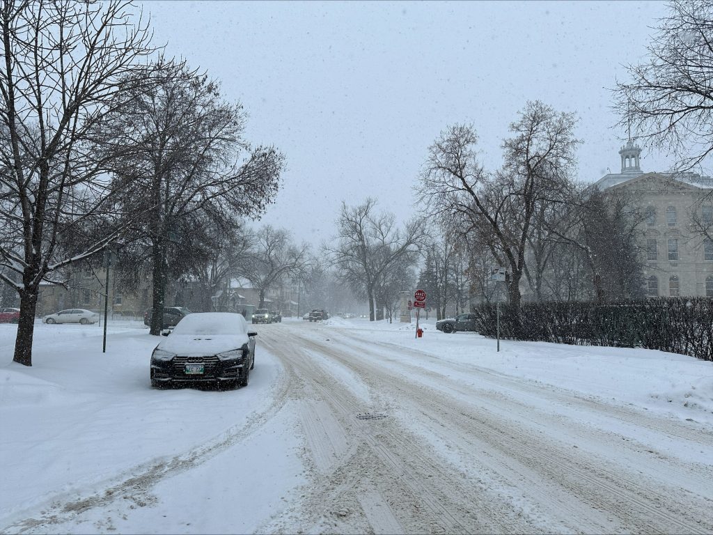
The prairie provinces have been enjoying a relatively warm winter so far, with continued above-normal temperatures. However, that is all about to change, with a Mars-like polar vortex making its way to Canada.
The polar vortex, drifting over Siberia, in Northern Russia, has generated the coldest temperature of the year, eclipsing -62ºC on January 14th.
For perspective, this record low for 2023 is around the average temperature on Mars and would freeze exposed skin in seconds. Now, Canadian Meteorologists say this polar vortex is heading to Canada.
“What that could mean is more fuel for more Colorado Lows, which Manitoba could be on the top side of but typically when you’re that cold, it is very hard to get snow,” explained Kevin Mackay, Meteorologist, The Weather Network.
Forecasts indicate colder-than-normal temperatures for the month of February in B.C., the Prairies, Northwest Territories, the Yukon, and parts of Ontario. Mackay says the current jet stream, providing warm air to much of North America, will dissipate and we’ll start to see the Arctic air drain south, meaning our winter vacation is ending.
“The location and the strength of this one will be good news for winter lovers in Eastern Canada, and even for those in the Prairies if you do like the thicker ice in the latter of the winter for ice fishing, then this will certainly help,” explained Mackay.
“By the time we get to the first week of February, that’s kind of the first sign that we actually have more of the cold core in North America rather than in Siberia.”
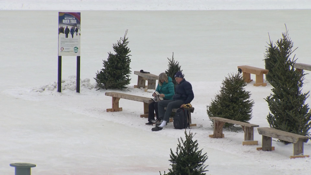
Mackay says Winnipeg has been experiencing extremely mild weather. He says Winnipeg averages around 18 nights in January below -20ºC, and during this warm snap, it’s only happened once this month.
“This is an outlier for sure, so enjoy it while it lasts.”
Conditions in Manitoba will change as early as next week. Environment Canada Meteorologist Natalie Hasell says the province will experience very near warning criteria conditions, with temperatures hovering around -40 C.
“Looking at these conditions, probably will be near warning criteria for areas in the north and depending on exactly how far south all of this cold air comes, we are likely to be in actual warning criteria,” said Natalie Hasell, Warning Preparedness Meteorologist, Environment and Climate Change Canada.
With the possibility of temperatures dipping to the low -40s, Hasell says it’s important to prepare.
“Please check the forecast, check current conditions, check road conditions if you have to travel. If you are travelling and you get stranded on the highway, unless you can guarantee you can make it to shelter in less than a minute, if your car is intact, stay in your car.”
Long-range forecasts are showing this cold snap could last into the latter part of February.


