Winnipeg under blizzard watch, expected late Tuesday
Posted April 11, 2022 11:13 am.
Last Updated April 12, 2022 10:29 am.
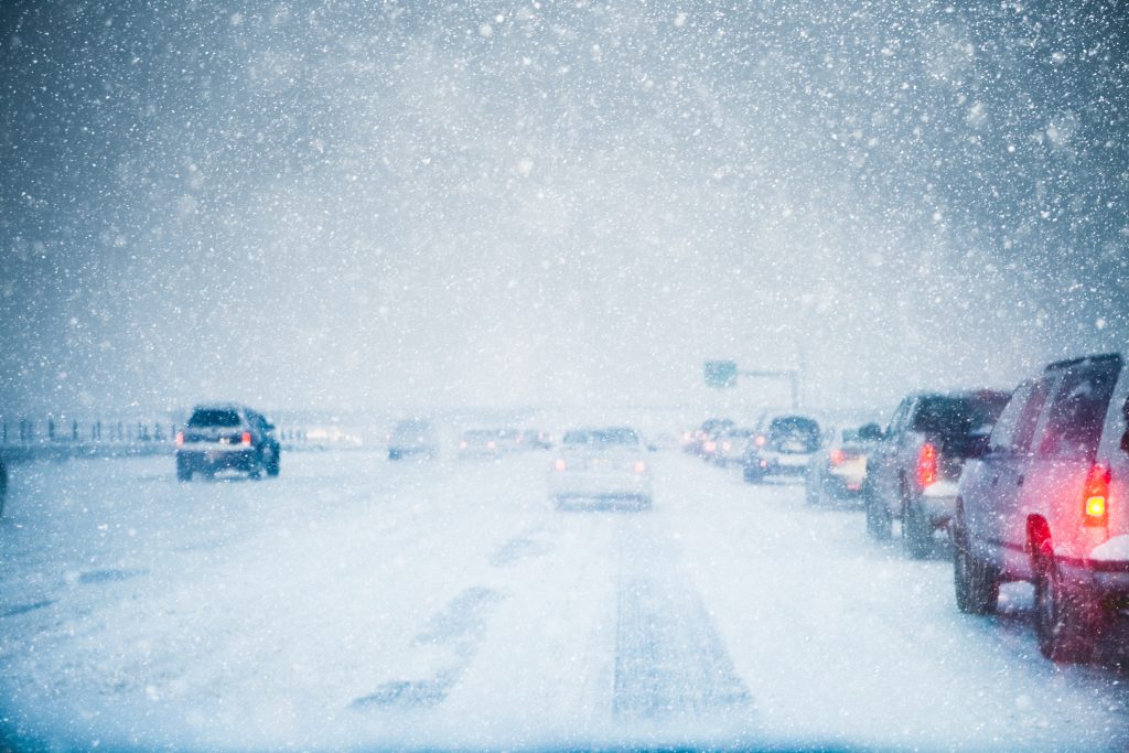
Winter is coming… back to Winnipeg. A major blizzard is in the forecast, expected to hit Southern Manitoba Tuesday night.
It could be the worst blizzard in decades – a warning coming from Environment Canada, as a Spring storm is set to wallop southern Manitoba, and is on a collision course for the City of Winnipeg.
Environment Canada is predicting snowfall of 30 to 50 centimetres, and winds gusting from 70 to 90 kilometres per hour. The snow will start early Tuesday evening near the U.S. border and then push northward throughout the night. By Wednesday morning heavy snow will be falling in Winnipeg and surrounding areas.
“The strength of this system is definitely not usual, the storm itself is. The fact that it is going to last two-plus days is unusual,” explained Natasha Ramsahai, CityNews Meteorologist.
CityNews Meteorologist @CityNatasha on what to expect from the blizzard on its way to Manitoba… #blizzard #Winnipeg #Update pic.twitter.com/nMRtQYvqQa
— CityNews Winnipeg (@CityNewsWPG) April 11, 2022
“The type of snow initially will be the heavy, wet snow, because it’s going to be falling at temperatures of zero-one degree. As the days go on, it’s going to turn into that light, fluffy snow so visibility and blowing snow will become more of an issue.”
Officials say travel will become increasingly difficult, and widespread highway closures are expected. Public Safety Canada is encouraging residents in the area to equip themselves with an emergency kit with drinking water, food, medicine, a first-aid kit and a flashlight. Power outages are expected.
By Wednesday, it is expected that heavy snow will be falling in Winnipeg. Conditions are expected to improve by Friday, but what does all this snow mean for the flood forecast?
“We’ve got a moderate flood, so the question is, will it become a major flood,” said Jay Doering, Professor of Civil Engineering, University of Manitoba.
Doering says the timing of this blizzard isn’t ideal, but it shouldn’t drastically change the flood trajectory.
“My concern would be more for the Red River Valley itself. We will probably expect to see rain dyke closures and possibly the submergence of Highway 75 which has economic impacts for the province of Manitoba,” he added.
RELATED:
- Time for Winnipeggers to worry about floods amid high snowfall?
- Flood fears ease in Manitoba amid good weather and slow melt, officials say
- Flooding closes some highways around Manitoba
- Spring flooding highlights need for better commuting infrastructure: Bike Winnipeg
This month marks 25 years since the 1997 storm, when 40 centimetres of snow fell in Winnipeg alone over a three-day period, contributing to what was coined “the flood of the century.”
Doering says he isn’t concerned about major flooding and wouldn’t compare this to the 1997 winter storm just yet.
“We are much better prepared, but it is difficult for these people that live within rain dykes or have their houses up on pads in the Red River Valley, to be isolated for the duration of late April, early May flood peak,” explained Doering.
Environment Canada is advising Manitobans to avoid travel when the storm hits and to prepare by stocking up on supplies and medication. With power outages expected, Manitoba Hydro is planning for a busy week ahead.
“People who need to be put on standby, have been put on standby. In terms of equipment, making sure there is fuel in the vehicles, and there are equipment stockpiles in terms of things we may need should a power line go down. We have polls and insulators available that we can restore services as quickly as possible,” said Bruce Owen, Media Relations, Manitoba Hydro.
Ramsahai says Manitobans could be digging out for days.
“It really is best to stay off the roads. Let the snowplow crews do their job because that job is going to continue just Wednesday, Thursday, and Friday, but through the weekend. It is going to take a long time to clear this.”
-With files from Alex Karpa, CityNews


